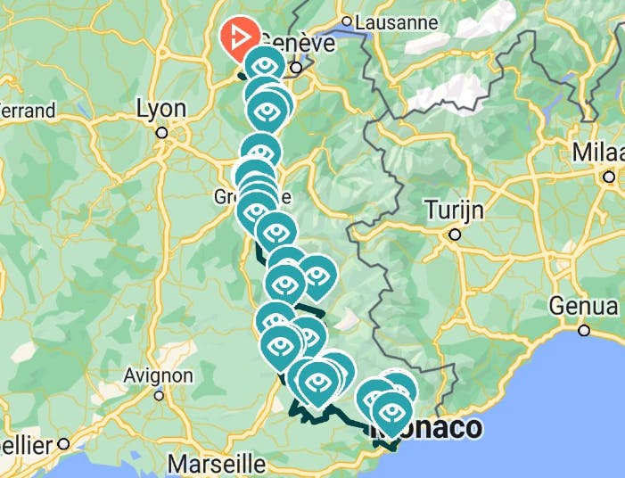
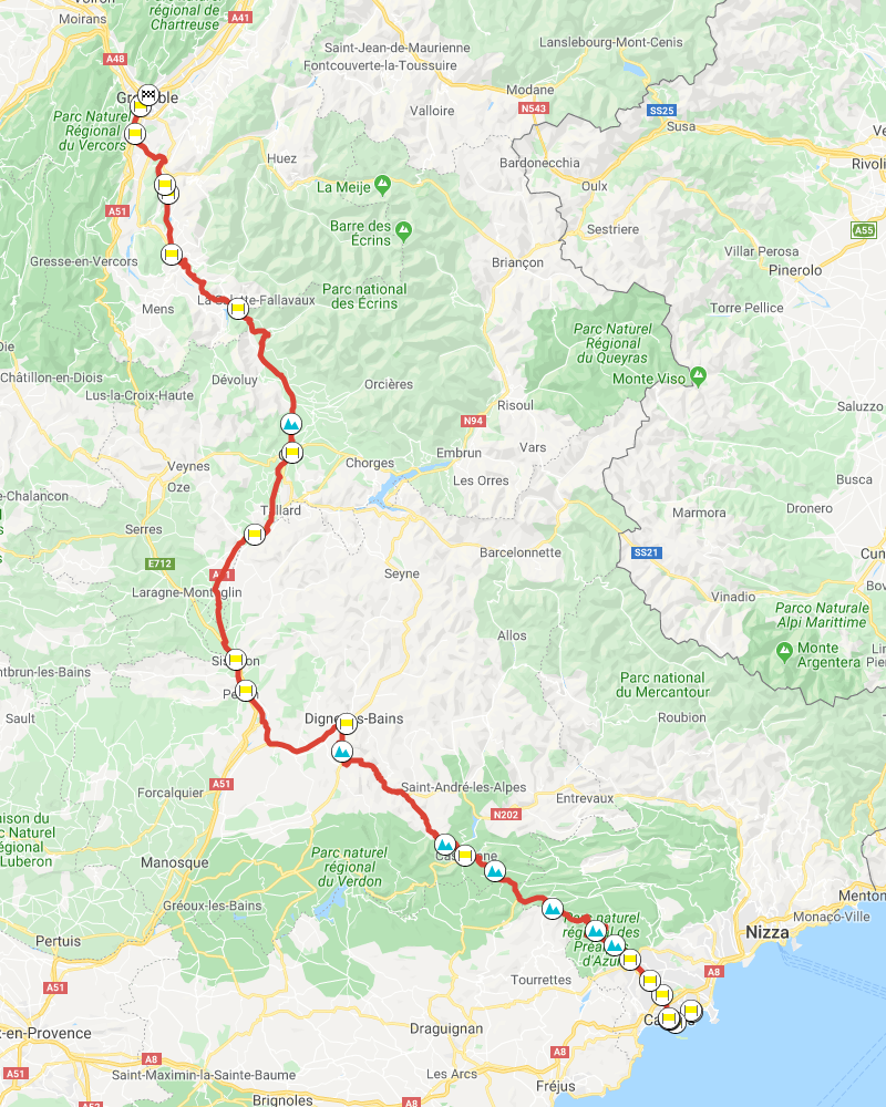
The Route Napoléon is the route taken by Napoleon I in 1815 on his return from Elba. It is now concurrent with sections of routes N85, D1085, D4085, and D6085.
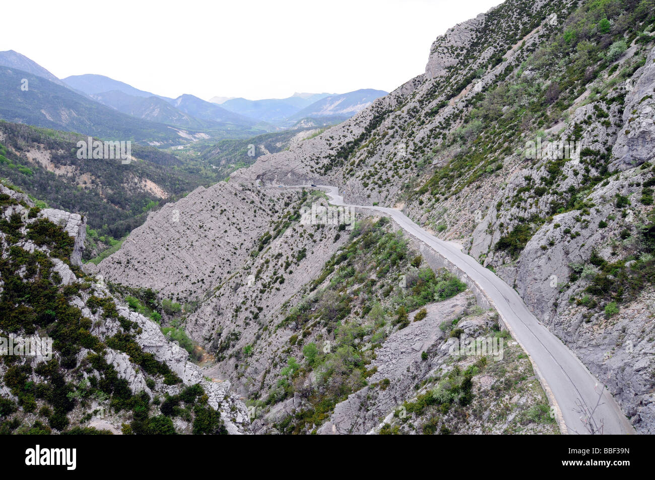
The route begins at Golfe-Juan, where Napoleon disembarked on 1 March 1815, beginning the Hundred Days that ended at Waterloo. The road was inaugurated in 1932 and meanders from the French Riviera north-northwest along the foothills of the Alps. It is marked along the way by statues of the French Imperial Eagle.
Route
From south to north:
- Antibes
- Grasse
- Saint-Vallier-de-Thiey
- Castellane
- Digne
- Sisteron
- Gap
- Col Bayard (1,246 m)
- Corps
- La Mure
- Laffrey
- Grenoble
Gallery
External links
- Media related to Route Napoléon at Wikimedia Commons